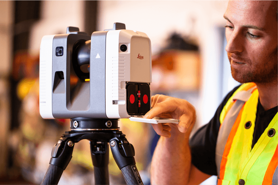
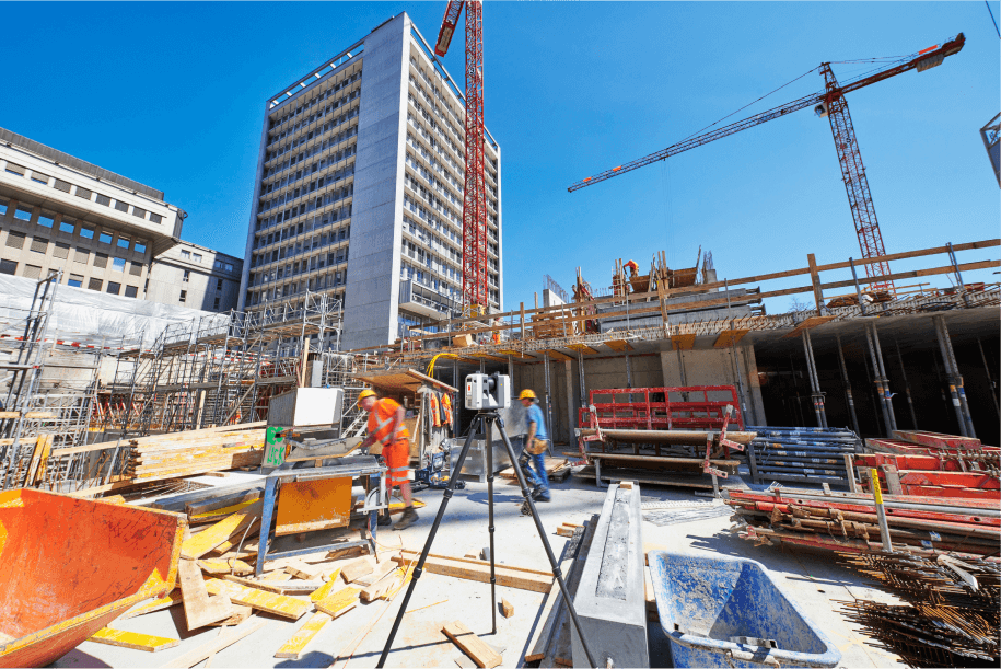
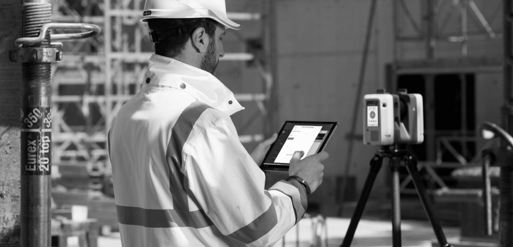
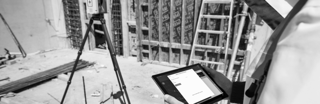
A Guide to 3D Laser Scanning Technology

Guides

The future of 3D laser scanning is here

Evolution has come to construction in the form of advanced hardware and software solutions that make everyday work easier, safer, and smarter.

3D laser scanning technology has rapidly evolved from experimental tools to widespread adoption across construction sites globally. This technology enables contractors, architects, and project managers to enhance efficiency throughout construction processes.

The Basics of 3D Laser Scanning

3D laser scanning offers significant advantages in construction. But what is it, and how does it work?

What is 3D laser scanning in construction?

3D laser scanning employs cutting-edge technology to collect, measure and document reality through advanced software processing to create detailed 3D visualizations. These 3D datasets serve as extremely accurate digital representations of buildings, infrastructure, utilities, and interiors to enable actionable decision-making based on as-built conditions.

Applications include streamlining permitting, quality assurance, expediting timelines, and powering marketing initiatives through buyer walkthroughs accessible globally.

Mapping real conditions ensures accuracy

3D laser scanning combines imagery and laser technology to capture real-world information as a point cloud — millions of data points recorded when a laser from a 3D scanner hits an object and its 3D location is registered. These measurements, collected within minutes, form accurate 3D representations of as-built conditions.

Processed data generates 2D CAD drawings, 3D models and BIM deliverables sufficiently accurate for project estimates, on-site work decisions, and precise remodeling on existing structures.

How much does 3D laser scanning cost?

Self-performing 3D laser scanning can achieve high efficiency with effective utilization of personnel and equipment. However, for organizations new to scanning, requiring team supplementation, or unable to be present at all project locations, service providers offer strong alternatives.

In-house Scanning

Building an in-house program requires substantial investment: hardware and software roughly $20,000 – $100,000+, a Reality Capture Technician at approximately $50,000 – $70,000/year, and a VDC Technician at $70,000 – $90,000/year. This path makes sense for organizations with consistent, high-volume scanning needs.

Service Provider

Working with a service provider offers flexibility, speed, and cost-effectiveness. Typical quotes for 3D laser scanning on small projects generally cost up to $5,000, including both equipment and expert personnel for accurate measurements — no capital investment or training required.

Key Benefits

How to choose a 3D laser scanning provider

Finding the right 3D laser scanning provider matters for getting the results you want at the right price. Here is what to prioritize.

Comprehensive Services

Choose a provider that offers a full, comprehensive suite of features — image capture, scheduling, date and location tagging, data management, cybersecurity, and advanced capabilities like scan-to-BIM.

Experience in the field

There is a lot more to 3D laser scanning than snapping a few photos. Providers should demonstrate proven track records with appropriate training and in-the-field experience on real job sites.

High-quality technology

Investing in 3D laser scanning means you want the best quality results, which requires industry-leading software and hardware. Multivista uses highly accurate laser scanning devices from Leica Geosystems.

Local presence

Keep geographical scalability in mind. Partners with local presence and boots-on-the-ground in most regions better support your projects.

How different stakeholders use it

Architects & Designers

3D laser scanning creates measurable data allowing design engineers and architects to verify as-built conditions remotely. Cloud-based interactive plans let designers walk job sites within the platform and take measurements via web browser for cross-referencing against plans.

General Contractors

Contractors and decision-makers use measurable 3D images to direct field teams, document progress, and plan next steps. Integrating 3D data into project management software populates measurements for change orders, punch lists, RFIs, and submittals, and helps schedule and prep subcontractors.

MEP Professionals

Complex systems require accurate measurements for tight, efficient fits. Mechanical engineers access 3D imagery with accurate measurements without on-site visits, enabling off-site fabrication and faster turnarounds without wasted trips or expensive adjustments.

Owners & Developers

Centralizing 3D scan data in a platform like Multivista keeps all stakeholders informed. Secure sharing connects architects, contractors, subcontractors, and investors remotely — saving time and resources, reducing rework, and helping facilities teams expedite service and repairs after completion.

What is the future of 3D laser scanning?

3D laser scanning is a fairly recent innovation in construction, yet it already permeates the industry. As with technological advances generally, it should become increasingly accessible, approaching normalcy on job sites in the coming years.

It already feeds massive volumes of visual data into AI image recognition tools, with significant development focused on machine learning use cases that reduce labor hours, accelerate timelines, and prevent costly rework. Companies not adopting scanning technology will encounter competitive difficulties long-term.

“How we use scanning today has only scratched the surface of possibilities. Combined with AI and automated extraction solutions, point clouds will be used to provide insights into real-world conditions faster than ever before.” — Mark King, Product Manager, 3D Laser Scanning

Multivista 3D Laser Scanning services

Advanced software and powerful laser technology create dynamic, fully measurable 3D models of build sites — unlocking transparency and efficiency that represent a distinct competitive advantage. Finding the right provider matters: those combining field experience with top-tier hardware, software, and technical expertise remain scarce.

Here is how it works:

Multivista offers game-changing 3D scanning technology that is versatile and affordable.
Our software pairs with the RTC360 from Leica Geosystems, our sister company, making capturing, processing, and using 3D point clouds seamless.
We enable advanced documentation of pre-slab conditions, MEP systems, hydronic heating, underground water and gas, as-built conditions, and virtually anything else requiring documentation.

Success Case